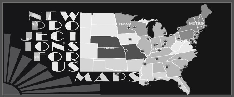
Everyone has their own particular style and the same goes for our new projections, available with any map of states cartography. Whether you are a company owner, web-designer, developer, or just a curious browser, your input is very important to us. Just as you have an opinion about the combination of shoes that you wear, the same will be true for the map you would like to see displayed on your website. Each projection has its advantages and particular features and we welcome a discussion on the topic.
 In this article we will look at a few of the main discussions around the projections that we have available and we will provide you with examples to view these options live. If you would be interested in learning more on the topic, please setup a consultation to discuss what projection is best for your project.
In this article we will look at the following topics:
-
Advantages to Using Mercator on Projects with World Maps with Countries
-
Differences with Homolosine Projection in JavaScript Maps
-
Curvature Available for US States Map with US National Atlas Projection
Creating Custom Interactive World Maps with Homolosine Projection
 For several years we concentrated our development on building maps using homolosine project with our Flash-based solutions. Homolosine projection is commonly used for showing World Maps, but can also be used to display specific regions or Countries. As part of our exploration with Homolosine projection, we created multiple versions of the maps to adapt to our client’s needs. Some of these instances included displaying or hiding Greenland, hiding antarctica, splitting Russia or adding aestitical curved lines on the globe map. Homolosine is a popular projection for many World mapping projects and is now available in both jQuery technology and our earlier Flash packages.
Map of States with Cities or World Dynamic Maps in Mercator
 The industry standard for mapping is Mercator projection and this is the projection adopted by many of the tech giants such as Google. Mercator provides several advantages for which it was originally selected as a projection used in navigation for the opportunity it offered to accurately transmit straight navigation lines on the cartography. However a disadvantage is the distortion Mercator projection extends to all bodies of land the further they fall from the equator towards the poles. As such, continents such as North America or large land areas close to the poles such as Greenland are geographically over represented on the map with comparison to continents that fall closer to the equator such as Africa or Australia. Nonetheless Mercator is the industry standard for mapping at the moment and is commonly used for showing World maps of Countries (see example), US Regional Maps (see example) or standard map of states (see example).
Unfolding of jQueryMaps States Map with US National Atlas Projection
 National Atlas projection provides an excellent view of the US that is often preferred for a map of States as it provides an aesthetically nice curvature to the US national view. This view shows Maine slightly higher than Oregon with a curving border line with Canada. This is distinct from Mercator projection of the same US national view, in which the border is almost straight and the northern tip of Maine is on the same level as Oregon. In the end it is really a question of taste as all projections work the same when applied to our interactive maps. The ability to show a map of states with cities and navigate between levels is all standard to our JavaScript maps, keeping in mind that important features can also be added to provide filters, results tables, export options and much more.
Contact us to find out more about the various projections that can be used for your next project. We would be happy to show you with examples of our current projections (Mercator, Homolosine and National Atlas) in a free consultation. We look forward to seeing your style!
Share the post "What’s your Map of States Style? New projections Available!"


