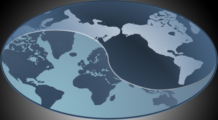
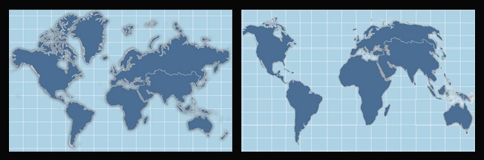
The most prevalent online mapping projection used across the web, Mercator, has been the topic of some controversy regarding its bias toward northern hemisphere countries. All projections have their pros and cons and Mercator remains the most recognized projection used at the moment, applied by Google Maps, Bing and jQueryMaps among many others. The following Economist article presents some interesting questions about how the size of continents may be misleading. At jQueryMaps, we specialize in HTML5 Maps and have had the opportunity to work with both Mercator and Homolosine projections. See screenshots below.
Let us know if you have any questions on this topic. Link to economist article.
Share the post "World HTML5 Maps – Economist look at Mercator Projection"